
Mr. Nguyen Quoc Chinh - Deputy Director of Production Engineering Department (EVN)
Reporter: Could you please share with us the urgency of developing flood maps in lowland areas of hydropower work?
Mr. Nguyen Quoc Chinh: Under the current regulations on safety management of reservoirs and dams, the development of flood maps (in cases of flood discharge in accordance with right procedure, flood discharge in case of emergency and dam collapse) is an important element input in developing the flood response plans for downstream areas of hydropower dams. Flood maps describe the scope and level of floods in the downstream areas of the dam.
According to scenarios, when flood map proposals are approved, local authorities will determine the range, height and duration of floods in residential areas and related agencies and organizations, thereby develop emergency action plans (informing to and evacuating people, mobilizing forces to respond the situations, etc.) that are appropriate to the selected situation.
After preparing the response plans, relevant organizations and units will organize dissemination and drill for local forces and people so as for them to proactively respond to emergency situations.
Reporter: How flood maps of downstream areas will help local people and authorities proactively respond when the hydropower plants carry out flood discharge following the proper process, sir?
Mr. Nguyen Quoc Chinh: Once the downstream flood maps have been prepared, local authorities and people in the downstream areas of the dam will know well about information on flood risk areas as well as flooding height and time since receiving the notification, then carry out evacuating, responding to the flood situations according to pre-drilled plans. Taking initiative in implementation of response plans will reduce the damage to people in the lowland areas.
For each household, they will know whether their houses are flooded or not, how high and how long they are flooded, thereby they will proactively evacuate and respond to the situation following the approved plans.
Reporter: Could you please tell us which agency is responsible for developing flood maps in downstream area?
Mr. Nguyen Quoc Chinh: According to the provisions specified in Decree 114 in year 2018, the responsibility for developing downstream flood maps is as follows:
The downstream areas are affected by one dam: the dam owner shall develop and approve the flood maps in the areas;
The downstream areas are affected by many dams in one province: Provincial People’s Committees will organize the development and approval of flood maps in downstream areas and transfer results to related agencies and localities to prepare the emergency response plans;
The downstream areas are affected by many dams in more than two provinces, the Ministry of Agriculture and Rural Development will develop, approve and transfer flood maps to related local authorities and dam owners to prepare the response plans.
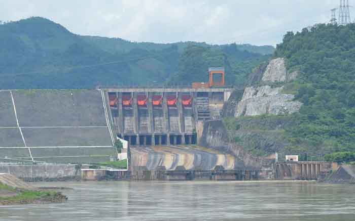
Developing flood maps in downstream areas will help people in lowland hydropower proactively respond to floods
Reporter: As the owner of many large hydropower projects, how will EVN coordinate with the ministries, branches and localities to complete flood maps in downstream areas?
Mr. Nguyen Quoc Chinh: As of 20th September 2018, EVN has instructed its affiliated units to complete the downstream flood maps in case of flood discharge and use the results to develop response plans for downstream areas and submit them to People’s Committee of provinces for approval.
In respect to the development of flood maps in downstream areas in case of dam collapse, EVN has instructed its member units to follow the roadmap. Up to now, the units have basically completed and submitted the like to relevant agencies for approval and use the flood maps in preparing response plans.
Reporter: Thank you very much!